
Satellites Can Spot Illegal Fishing. Then What?
A proposed tracking system could reveal hidden boats off Africa, but governments would still have to act on what it finds.
Print it — all four files
The student packet has no answers in it. The teacher copy is the same pages plus a note on each question and the answer keys. Both languages carry the same story, the same picture and the same vocabulary.
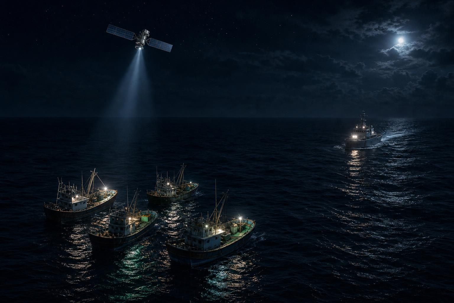
Three trawlers were intercepted off the coast of Gabon in July 2026 inside the Grand Sud Reserve, one of West and Central Africa’s largest marine reserves, where industrial trawling is banned. According to Phys.org, the boats did not have valid licenses, and a patrol found them after analysts at the nonprofit Global Fishing Watch studied satellite data and figured out where to look.
That scene shows both the promise and the problem in fighting illegal fishing, which means catching fish without permission or in ways a country’s rules forbid. Satellites can help governments see activity that would otherwise stay hidden. But a satellite cannot stop a boat, inspect its catch, or bring a case in court. The main conflict is not whether illegal fishing is harmful. It is whether technology, public information, and regional cooperation can turn sightings from space into real enforcement on the water.
The scale is large. Phys.org reports that Global Fishing Watch researchers found in 2024 that between 72% and 76% of the world’s industrial fishing vessels never appear in public tracking. Much of that hidden activity is concentrated around South and Southeast Asia and Africa. African countries share about 30,500 kilometers, or 18,950 miles, of coastline among 38 coastal states, and illegal fishing is estimated to cost African economies $11 billion to $13 billion a year.
One reason so much fishing is hard to monitor is that the public tracking system depends on boats reporting themselves. Many vessels use the automatic identification system, a transponder, or signal-sending device, originally designed to help ships avoid crashing into each other. If a crew does not want to be seen, it can switch that signal off. In June 2026, at the Our Ocean Conference in Mombasa, 15 governments signed a declaration promising to share more information about who owns fishing vessels and where they operate. Seven of those governments were African, including Somalia.
The Phys.org article describes another approach: using satellites that look for vessels directly, whether or not those vessels are broadcasting. Researchers designed a system for the Somali Basin, the stretch of the western Indian Ocean off the Horn of Africa between Somalia and Kenya. The article describes it as one of the world’s richest tuna grounds and one of the least patrolled. The researchers concluded that keeping near-constant watch over those waters is possible with technology that already exists, if the system is built for the equator instead of copied from satellite designs made for other latitudes.
Most Earth-observation satellites, which are satellites that collect images or measurements of Earth, fly in orbits that pass close to the poles and cross the equator at roughly the same local time each day. That means many of their trips pass over areas far from the waters that countries near the equator need to watch. The proposed system would use 24 satellites in paths tilted only 20 degrees from the equator. Over the Somali Basin, that design would return about every 1.1 hours, compared with about 3.4 hours for the same number of satellites flown over the poles. In simple terms, the equator-focused satellites would see the basin about three times as often.
Finding a boat is not the same as proving what kind of boat it is. Radar, a sensor that uses radio waves to detect objects, can scan a wide strip of ocean and mark a vessel as a bright dot. But identifying whether that dot is a licensed trawler or a small skiff requires a sharper image. The proposed system would use one sensor to find possible vessels and another to take a closer look. Because satellites cannot send unlimited data to Earth, they would also need onboard software to sort images in space and send back only the most useful ones.
That is where the trade-off becomes clearer. The researchers estimated the system would cost about $347 million over five years, or about $25 for every confirmed detection. Compared with the estimated $11 billion in annual losses from illegal fishing, the article argues that cost is not the main barrier. The barrier is what happens next. A constellation, meaning a group of satellites working together, is valuable only if governments use its findings to send patrols, share costs with neighbors, and follow through politically and legally.
Still, satellites could change the balance of power. A government with few patrol boats could use space-based evidence to search smarter instead of wider. Public tracking data, like the national vessel information already published by Indonesia, Peru, Chile, and Costa Rica, can let outsiders check whether enforcement matches promises. But openness also makes inaction harder to hide. The hard question is not whether governments can see more. It is whether seeing more will force them to do more.
Written from reporting by Phys.org, “Illegal fishing is thriving in African waters—a satellite system could help change that”.
Discussion questions
- If a coastal country had limited money, should it spend first on satellite detection, patrol boats, or courts and investigators? Defend your priority.
- Should vessel-tracking information be made public when it involves national waters and private fishing businesses? Why or why not?
- When illegal fishing crosses borders, what would make cooperation between neighboring countries fair rather than just desirable?