
Arizona’s Standing Rocks Become a New National Park
Chiricahua’s towers of stone tell a story about volcanoes, time, plants, and protected land.
Print it — all four files
The student packet has no answers in it. The teacher copy is the same pages plus a note on each question and the answer keys. Both languages carry the same story, the same picture and the same vocabulary.
Chiricahua in southeastern Arizona has a new name on the park map. In October 2026, it was redesignated, or officially renamed, as Chiricahua National Park, according to NASA Earth Observatory. It had been a national monument since 1924. A national monument is protected public land. A national park is protected too. The new name can bring more attention to a special place.
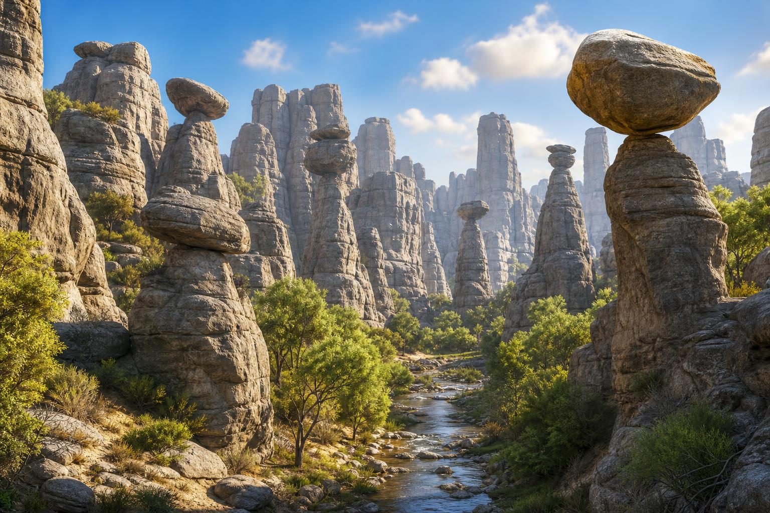
The park is famous for tall rock towers. The Apache called the area “The Land of the Standing-Up Rocks.” If you walked there, you might feel small. Some stone pinnacles rise like giant fingers. A pinnacle is a tall, pointed tower of rock. Other rocks balance on top of thinner rocks. Canyons twist between them.
The story began long before any trail was built. About 27 million years ago, a volcano erupted in what is now southeastern Arizona. It spread ash and pumice across the land. Pumice is a light rock full of tiny holes. Some hot ash and rock flowed together and hardened. That rock is called tuff, which means rock made from volcanic ash.
Later, water, wind, heat, and cold slowly changed the rock. That breaking and shaping is called erosion and weathering. Softer parts wore away first. Harder parts stayed standing. Over a very long time, the cliffs became spires, hoodoos, and canyons. A hoodoo is a tall, thin rock column.
NASA wrote about the park because its satellites look down at Earth from space. A satellite is a machine that travels around Earth. One satellite, Landsat 9, took a clear image of the area on July 2, 2026. The smallest rock towers are too tiny to see from space. But the picture shows gray rocky land and green stream valleys.
Chiricahua is also a busy place for plants. Four different natural regions meet near the park. They include two deserts and two mountain regions. That mix helps many plants grow there. NASA says about 1,000 plant species, or kinds, live in the park. They grow in deserts, grasslands, forests, and brushy areas.
A park can be more than a pretty view. It can be a science clue. The standing rocks tell a story about fire, time, and slow change. They also show how land can hold meaning for many people.
Written from reporting by NASA, “The Land of the Standing-Up Rocks”.
Discussion questions
- When a place becomes a national park, more people may want to visit. Is that mostly helpful or mostly difficult for the place? Defend your view.
- What can a satellite picture show that a hiker might miss, and what can a hiker notice that a satellite might miss?
- If a place near you had an important natural story, what evidence would convince you it should be protected?