
Nebraska’s new ground map shows why old dirt matters
A statewide geology map could guide water, habitat and building decisions, but its broad scale makes it only a starting point.
Print it — all four files
The student packet has no answers in it. The teacher copy is the same pages plus a note on each question and the answer keys. Both languages carry the same story, the same picture and the same vocabulary.
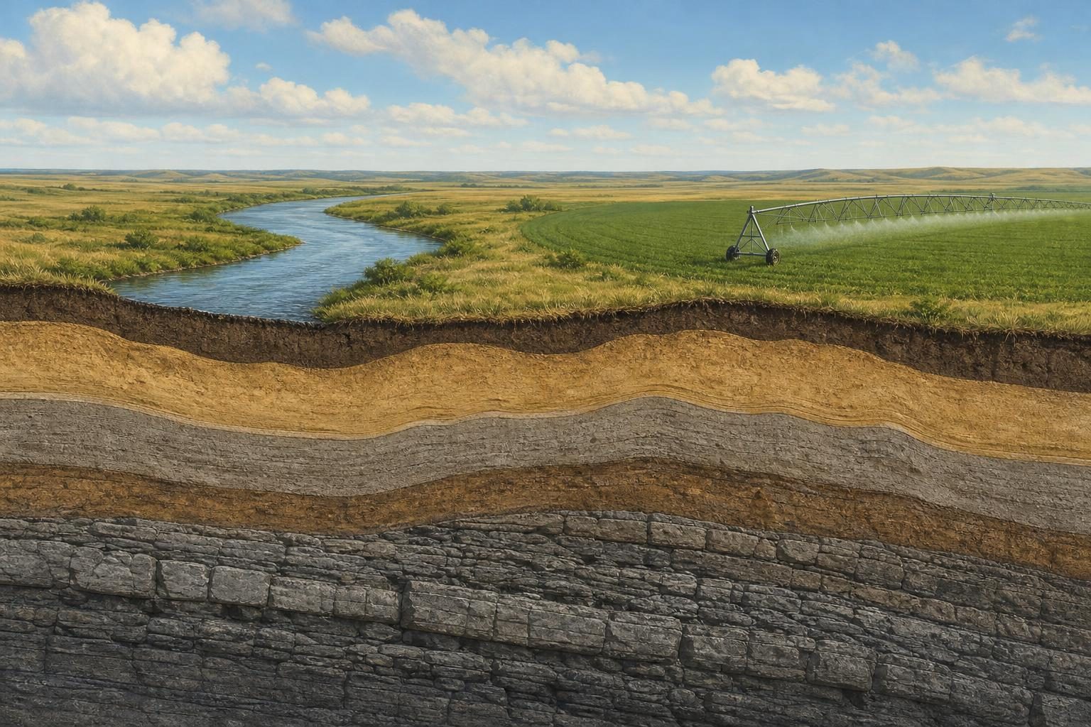
Nebraska has its first statewide map of the geology at the surface, a new scientific tool meant to help people make decisions about water, construction, wildlife habitat and natural hazards. According to Phys.org, the map was created by Paul Hanson and Matthew Joeckel of the University of Nebraska–Lincoln’s Conservation and Survey Division, working with the U.S. Geological Survey, and was published with an academic paper in the Journal of Maps.
The map focuses on surficial geology, meaning the rock, sand, silt, clay and other deposits found at or near the ground surface. That may sound like background information, but it can matter in daily life. Surface deposits help determine where groundwater may be found, what kinds of soil support plants and buildings, where sand and gravel might be available for construction, and where land may be more vulnerable to erosion or other geologic hazards.
The project’s importance is also its complication: it tries to turn decades of uneven information into one consistent statewide picture. Hanson and Joeckel had to reconcile older maps and data that were made by different people, for different purposes, at different times and at different scales. In mapping, scale means the relationship between distance on the map and distance in the real world. The Nebraska map is at 1:500,000 scale, which means one unit on the map equals 500,000 of the same units on the ground. That makes it useful for seeing statewide patterns, but not precise enough to answer every local question.
That is the trade-off at the center of the story. A broad map can give agencies, researchers and businesses a shared starting point, especially in places where older information was scattered or inconsistent. But the same broad view can also hide local detail. A farmer deciding where to irrigate, a town thinking about development, or a company looking for construction material may still need more detailed studies before acting. The scientists themselves describe the map as a beginning for future work, not the final word on Nebraska’s ground.
One of the map’s main findings is that windblown sand, silt and other sediments cover more than 75% of Nebraska. Sediment is loose material, such as sand or silt, that has been moved by wind, water or ice and then deposited somewhere else. That finding connects Nebraska’s present landscape to long geologic processes, including material carried from the Rocky Mountains over millions of years and reshaped by river systems such as the Platte and Missouri.
The map also improves what the article calls linework, the drawn boundaries that separate one mapped geologic unit from another. In this case, better linework helps show features such as watersheds, which are areas of land where water drains toward the same river, lake or other outlet. If those boundaries are wrong or too vague, decisions based on them can be weaker. If they are better, planners and scientists have a stronger base for questions about groundwater, flooding, habitat and land use.
Modern technology helped make the update possible. The team used GIS, or geographic information system software, which lets researchers layer and analyze location-based data on a computer. They also used LiDAR, short for light detection and ranging, a remote-sensing method that uses laser measurements to build detailed images of land elevation. Satellite imagery added another way to compare the ground from above. These tools do not replace field knowledge, but they can make old map information more accurate and easier to compare.
The practical value is easy to see in water management. Nebraska depends heavily on groundwater and irrigation, and knowing what lies beneath the surface can help identify where water is likely to be stored or how it may move. The same information can matter for private industry, such as locating sand and gravel for excavation. It can also support conservation by helping people understand habitats that depend on certain soils or landforms.
Still, better information does not automatically settle public choices. A map can show where resources are likely to be, but it cannot decide how much groundwater should be pumped, whether a gravel pit should be approved, or how to balance development with habitat protection. Those are policy and community decisions. Science can narrow uncertainty, but it often makes trade-offs more visible rather than making them disappear.
The article notes several possible next steps, including finer-scale mapping of parts of the state, a more detailed landform map, research using continuous sediment cores drilled from the ground, and a revised map of Nebraska’s bedrock, which is the solid rock beneath loose surface material. Future improvements in GIS, elevation data and geophysical surveys may sharpen the picture further.
For now, the new map matters because it gives Nebraska a more coherent view of the ground people build on, farm, conserve and draw water from. It is both a scientific achievement and a reminder that public decisions often depend on information that is useful but incomplete.
Written from reporting by Phys.org, “Scientists create new statewide surface geologic map of Nebraska”.
Discussion questions
- When is a broad statewide map good enough for decision-making, and when should officials require more detailed local studies before acting?
- Who should have the most influence over how geologic information is used: scientists, government agencies, landowners, businesses, or local communities?
- How might better information about underground resources create new conflicts instead of simply solving old problems?