
AI Crop Maps Could Change Fieldwork in Senegal
A Cambridge model used satellite images and limited training data to identify crops in Senegal with 84% accuracy.
Print it — all four files
The student packet has no answers in it. The teacher copy is the same pages plus a note on each question and the answer keys. Both languages carry the same story, the same picture and the same vocabulary.
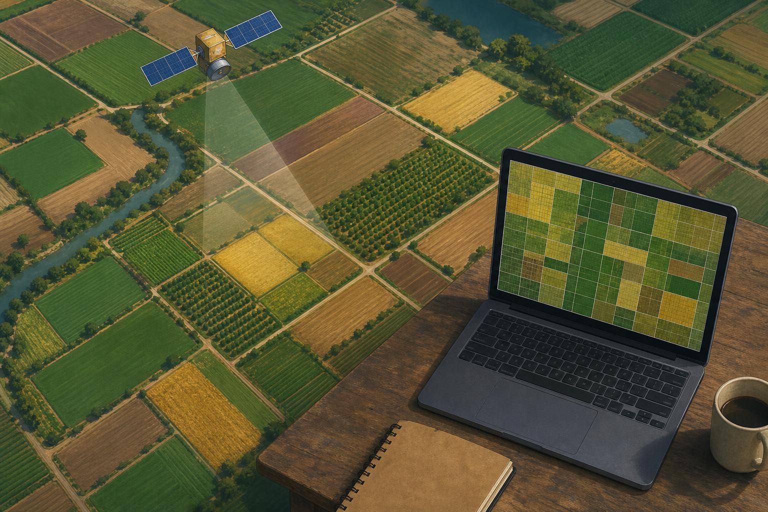
An open-source artificial intelligence model identified crops in Senegal’s groundnut basin with 84% accuracy in tests, using far less labeled data and computing power than many current methods, according to reporting by Phys.org on research published Sept. 29. The model, called Tessera, was developed at the University of Cambridge and trained on satellite images. Researchers tested it on crop mapping for 2018, 2019 and 2021 and found that, in one scenario, it performed 28% better than the next-best model.
That matters because crop maps are not just academic pictures. They are working documents used by governments, aid groups and food-security organizations to estimate what is growing where. In Senegal, much of the food supply comes from smallholder farms, meaning small-scale farms often worked by families or local producers. Phys.org reports that many of these farms are rain-dependent, so drought or disrupted rainfall can quickly turn into a food-security problem, which means people may not have reliable access to enough food.
The work problem is simple to describe and hard to solve. To estimate crop production, organizations need current information from the ground. Ground data means information collected by people who visit fields, record what is planted, and use those observations to check a map or model. That work can be slow, expensive and difficult, especially when fields are small and spread out. The other option is to analyze satellite imagery, but high-quality analysis can require expensive computing resources and large sets of pre-labeled examples, which are images already tagged with the correct crop type.
Tessera offers a different workflow. The model looks at a year’s worth of satellite images and compresses each 10-meter, or 33-foot, point of land into an embedding, which is a string of numbers that summarizes patterns in the data. For crops, those patterns can include how a field changes over a growing season. A simpler algorithm can then use a smaller number of calibration data points, meaning known examples used to tune the system, to turn those embeddings into a crop map.
For a career and technical education classroom, the important part is the work itself. This is not a robot replacing every field visit. It is a shift in the job from only collecting raw observations toward collecting good samples, checking data quality, running geospatial tools and explaining uncertainty. Geospatial work means using location-based data, such as satellite images, coordinates and mapped field boundaries, to make decisions. Remote sensing means gathering information from a distance, often from satellites or aircraft, instead of standing directly in the field.
The people involved in a system like this could include field survey crews, GIS technicians, data analysts, agricultural specialists and software developers. A GIS technician works with geographic information systems, which are computer tools for storing, layering and analyzing map-based data. In this case, the technician’s job would not be to make a decorative map. It would be to manage layers of satellite data, field observations and crop classifications so that decision-makers can use them.
The hiring signal is also important. A person entering this kind of work would need more than general interest in technology. Useful skills would include careful field documentation, basic statistics, spreadsheet and database habits, GIS software, and enough coding or scripting to handle files and repeat a workflow. Just as important would be quality control, often called QA/QC, which means checking whether the data are accurate, consistent and usable before anyone trusts the result. In this study, the model’s accuracy dropped between 2018 and 2021, and the researchers think the quality of the ground survey data may be part of the reason. That is a reminder that AI output is only as strong as the data and checking process behind it.
There are limits. An 84% accuracy rate is useful, but it also means the model was wrong in some tests. The study also did not test for secondary crops in fields where more than one crop is grown, which could affect accuracy in more diverse farming areas. For a food-security agency, those limits matter. A map that is good enough to spot a regional trend may not be good enough to decide whether one village, one farm cooperative or one storage site needs help first.
The model’s open-source design is part of the story. Open-source software has code or tools that can be inspected, shared or adapted under public licenses, instead of being locked inside a private product. Phys.org reports that Tessera’s underlying model is public, unlike Google DeepMind’s AlphaEarth, which the researchers also compared it with. If local governments and organizations can run the tool with data they already have, they may be able to update crop information in the years between major field surveys.
This is a technical story, but it is also a workforce story. As agriculture, climate monitoring and public planning use more satellite data, the job site expands beyond the field, the shop and the office. The best worker may be someone who understands crops well enough to question a bad map, understands data well enough to find an error, and understands the limits of AI well enough not to oversell it.
Written from reporting by Phys.org, “AI identifies Senegal's smallholder crops 84% of the time using limited training data”.
Discussion questions
- If a food-security agency has limited money, should it spend more on field survey crews or on AI crop-mapping tools? Defend a balance between the two.
- Would an 84% accurate crop map be good enough for public decisions? Argue where it would be acceptable and where it would be too risky.
- What skills would make a new worker valuable on a project like Tessera, and which skill do you think would be hardest to replace with software?