
Free activities › Middle school
A Mountain Near the Equator Is Losing Its Last Ice
NASA images show that Puncak Jaya’s once-flowing glaciers have shrunk into scattered patches.
Print it — all four files
The student packet has no answers in it. The teacher copy is the same pages plus a note on each question and the answer keys. Both languages carry the same story, the same picture and the same vocabulary.
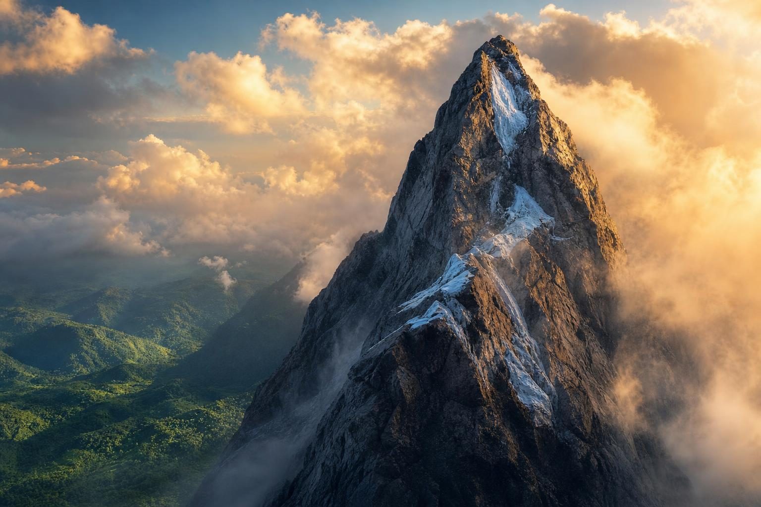
Ice near the summit of Puncak Jaya, a mountain in Indonesia, has shrunk so much that it is no longer acting like a glacier, according to NASA Earth Observatory. A glacier is a thick body of ice that slowly flows downhill under its own weight. On Puncak Jaya, the remaining ice is now broken into small patches that are too thin and too scattered to flow.
That matters because Puncak Jaya is one of the rare places near the equator, the imaginary line around the middle of Earth, where ice has lasted all year. The mountain is in the Sudirman Range on the island of New Guinea. It sits in the tropics, the warm region near the equator, beside a huge area of warm ocean water. That makes its ice especially sensitive to changes in temperature and precipitation, which means rain, snow, or other water falling from the sky.
NASA compared images from Landsat satellites, which are spacecraft that take pictures of Earth from orbit. One image was taken in 1988, and another was taken in 2026. The images use false color, which means the colors are changed to help scientists tell different surfaces apart. In these images, ice appears light blue, exposed bedrock appears brown, clouds appear white, and plants appear green. Bedrock is the solid rock under soil, ice, or loose stones.
The change is dramatic. In 1988, the glaciers covered about 4.31 square kilometers, or 1.66 square miles, according to Donaldi Permana, a climate scientist at Indonesia’s weather and climate agency. By September 2025, satellite and aerial data showed that only about 0.09 square kilometers, or 0.03 square miles, remained. NASA says that is about the size of a dozen soccer fields. It is also only about 2 percent of the ice area seen in 1988.
The ice has not just shrunk across the surface. It has also become much thinner. At one main monitoring site on the East Northwall Firn, the ice was 32 meters, or 105 feet, thick in 2010. By 2023, it was 4 meters, or 13 feet, thick. By November 2024, the ice at that site was gone. As glaciers thin, they can split into pieces. Each new edge gives warmth more places to attack, which can speed up melting.
Snow still falls near Puncak Jaya, but NASA reports that it does not stay long enough on the exposed rock to build new ice. For a glacier to keep going, it needs a place where snow piles up faster than it melts. Without that, the glacier cannot rebuild itself. Recent satellite studies suggest the main ice areas could disappear around 2030, while Indonesia’s climate agency estimates they could vanish sooner.
One reason is El Niño, a natural climate pattern that can warm parts of the ocean and change weather around the world. During El Niño years, the air around Puncak Jaya can be warm enough that rain falls instead of snow. Fresh white snow usually reflects sunlight and helps protect ice below it. Darker rock and older ice absorb more heat, so they melt faster. NASA says the 2015-2016 El Niño and the 2023-2024 El Niño both brought rapid thinning.
For someone studying Earth science, this is a real-world example of how land, air, water, and sunlight connect. It is also a reminder that satellite images are not just pictures. They are evidence. They let scientists compare the same place across decades, measure change, and ask what might happen next.
Written from reporting by NASA, “The Last Ice on Puncak Jaya”.
Discussion questions
- If a glacier is almost gone, what information should scientists try hardest to collect before it disappears, and why?
- Should small tropical glaciers get as much public attention as larger ice sheets in places like Antarctica or Greenland? Defend your view.
- How could the loss of Puncak Jaya’s ice change the way people understand maps, climate zones, or the idea of what belongs near the equator?