
Free activities › Middle school
Satellites Spot a Mangrove Comeback
After decades of losses, new global maps show many coastal mangrove forests are growing again.
Print it — all four files
The student packet has no answers in it. The teacher copy is the same pages plus a note on each question and the answer keys. Both languages carry the same story, the same picture and the same vocabulary.
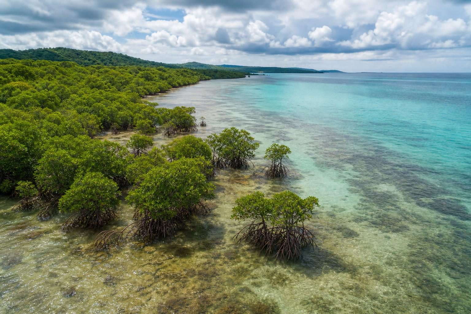
Mangrove forests, the short coastal forests that grow in salty water on tropical shorelines, are making a global comeback after decades of decline. According to NASA Earth Observatory, researchers used Landsat satellite images to study mangroves from 1984 through 2023 and found a major change in the trend around 2010.
Before 2010, the planet lost nearly 3,000 square kilometers of mangroves. That is about 1,200 square miles. After 2010, the researchers found an unexpected gain of nearly 2,000 square kilometers, or about 770 square miles. They also found that many mangrove forests now have denser canopies. A canopy is the leafy top layer of a forest, and a denser canopy can be a sign that trees are healthier and less damaged.
The study matters because mangroves do several jobs at once. Their tangled, stilt-like roots help hold shorelines in place, slowing erosion, which is the wearing away of land by water and wind. They can also reduce storm surge, the dangerous wall of ocean water pushed inland by a strong storm. Those same roots create safe nursery areas for young fish, shrimp, crabs, and other marine life. Mangrove ecosystems also store up to four times as much carbon as taller inland tropical forests. Carbon storage matters because carbon dioxide in the air is one of the gases that warms Earth’s climate.
The rebound was strongest in Asia, Australia, and South America. The researchers found that about two-thirds of the new growth came from mangroves spreading into new areas. The other third came from restoration and regrowth in damaged places. Restoration means people are trying to help an ecosystem recover, sometimes by protecting land or planting trees.
One important example is Burma, also called Myanmar, in Southeast Asia. The country lost mangroves quickly in the 1980s and 1990s as coastal land was used for farming, aquaculture, and firewood. Aquaculture means raising fish, shrimp, or other water animals for food. Around 2010, the trend began to reverse in many places. The researchers connect that change to several causes, including more awareness and restoration after the 2004 Indian Ocean tsunami, stronger forest protections, and high rates of sedimentation. Sedimentation happens when rivers and ocean water drop sand, mud, and other material, sometimes creating new mudflats where mangroves can take root.
NASA’s article also points out that some mangrove expansion is happening because Earth is warming. At the northern and southern edges of where mangroves can live, including the southeastern United States, warmer temperatures and fewer freezes have allowed mangroves to move into places that used to be too cold. That is a reminder that one positive-looking change can still be connected to a larger climate problem.
The news is not all good. Some regions have continued to lose mangroves. The Niger Delta in West Africa has had major losses since 2010. In North America and southern Africa, tropical cyclones have damaged large areas of mangrove forest. A tropical cyclone is a powerful rotating storm that forms over warm ocean water.
This story is also about how science works over time. A single photo can show one place on one day. But Landsat satellites have been collecting images for decades, which lets scientists compare the same kinds of places again and again. That long record helped reveal a pattern that would be hard to see from the ground alone.
For coastal communities, the finding offers a practical lesson. Protecting forests, restoring damaged areas, and allowing natural regrowth can make a difference. But the gains do not erase the losses everywhere, and they do not mean mangroves are safe without continued care.
Written from reporting by NASA, “A Global Rebound for Mangroves”.
Discussion questions
- If a coastal town had to choose between building on shoreline land or protecting mangroves there, what evidence should matter most in that decision?
- How does using decades of satellite images change what scientists and governments can understand compared with visiting a few mangrove sites in person?
- The article shows mangroves expanding partly because of restoration and partly because of warming temperatures. Should this be called good news, bad news, or both? Defend your view.