
Free activities › Middle school
Rain Turns One of Earth’s Driest Deserts Into Flowers
In Chile’s Atacama Desert, rare El Niño rains woke hidden seeds and created a bloom big enough for satellites to see.
Print it — all four files
The student packet has no answers in it. The teacher copy is the same pages plus a note on each question and the answer keys. Both languages carry the same story, the same picture and the same vocabulary.
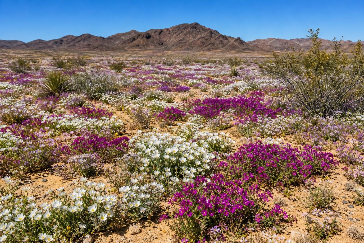
Rare winter rain has transformed parts of the Atacama Desert in northern Chile into fields of red-purple, green, and white flowers, according to NASA Earth Observatory. The Atacama is usually one of the driest places on Earth. But in 2026, an unusually wet winter woke seeds that had been lying dormant, which means alive but not growing, in the desert soil. Scientists say the event may be the most extensive desierto florido, Spanish for flowering desert, seen since satellites began regularly watching the region.
The bloom matters because it shows how quickly a harsh-looking ecosystem can respond when conditions change. Deserts are not empty places. They hold living things that survive by waiting. Some plants can leave seeds in the ground for years until the right rain arrives. When enough water comes, the seeds sprout, grow, and flower in a short window of time. That creates food and habitat for insects and other animals, and it gives scientists a rare chance to study life in extreme places.
This year’s rain was linked to El Niño, a natural warming pattern in the tropical Pacific Ocean that can change weather around the world. During El Niño, NASA explains, air pressure patterns over the Pacific shifted in a way that helped push storms farther north toward the Atacama. Beginning in mid-July, storm fronts, which are boundaries where different air masses meet, brought heavy rain to a long stretch of Chile. Some of that moisture came from an atmospheric river, a long band of water vapor in the sky that can carry huge amounts of moisture. In August, rare snow fell in parts of the desert.
The results became clear from space. NASA used images from Landsat 8 and Landsat 9, satellites that observe Earth’s surface, to compare parts of the desert on September 14 and October 24. In one area southwest of the city of Copiapó, red-purple patches spread across the land in October. Researchers identified them as blooms of Cistanthe, a desert plant group that includes flowers known locally as pata de guanaco. In another area, green hills capped with white flowers appeared in September. Scientists said those were likely Nolana, another desert plant group.
Scientists are not only admiring the flowers. Researchers from Pontificia Universidad Católica de Valparaíso in Chile studied the bloom using satellite data, drones, and digital cameras. That is called remote sensing, which means collecting information from a distance instead of touching or digging up every place being studied. Their goal is to map how biodiversity, or the variety of living things in an area, changes across space and over time. That information can help land-use planners and conservation managers make decisions about protecting important areas.
The Atacama’s flowering desert has been studied before. NASA reports that researchers used Landsat data in a 2014 study to map flowering and fog-fed plants near the Copiapó dune field. A 2019 study used NASA’s long-term vegetation record to identify 13 Atacama Desert blooms between 1981 and 2015. Compared with those earlier blooms, the 2026 event stands out for its size, strength, and how long it lasted. For a middle school science class, this is a real-world example of how water, climate patterns, plant life, and technology connect. A storm in the Pacific can change a desert. A seed can wait for years. A satellite can help people notice both.
Written from reporting by NASA, “El Niño Rains Paint the Atacama”.
Discussion questions
- If a place looks dry and empty most of the time, how should that affect the way people decide whether it is worth protecting?
- Which gives scientists a better understanding of a rare bloom: satellite images from above or field observations on the ground? Defend your choice, or argue that both are needed.
- El Niño can bring needed rain to one region while causing problems in another. How should communities think about a weather pattern that has both benefits and risks?