
Free activities › Middle school
Texas Cotton Farmers Face a Water Problem Seen From Space
NASA images show drought hitting cotton fields while a key underground water source keeps shrinking.
Print it — all four files
The student packet has no answers in it. The teacher copy is the same pages plus a note on each question and the answer keys. Both languages carry the same story, the same picture and the same vocabulary.
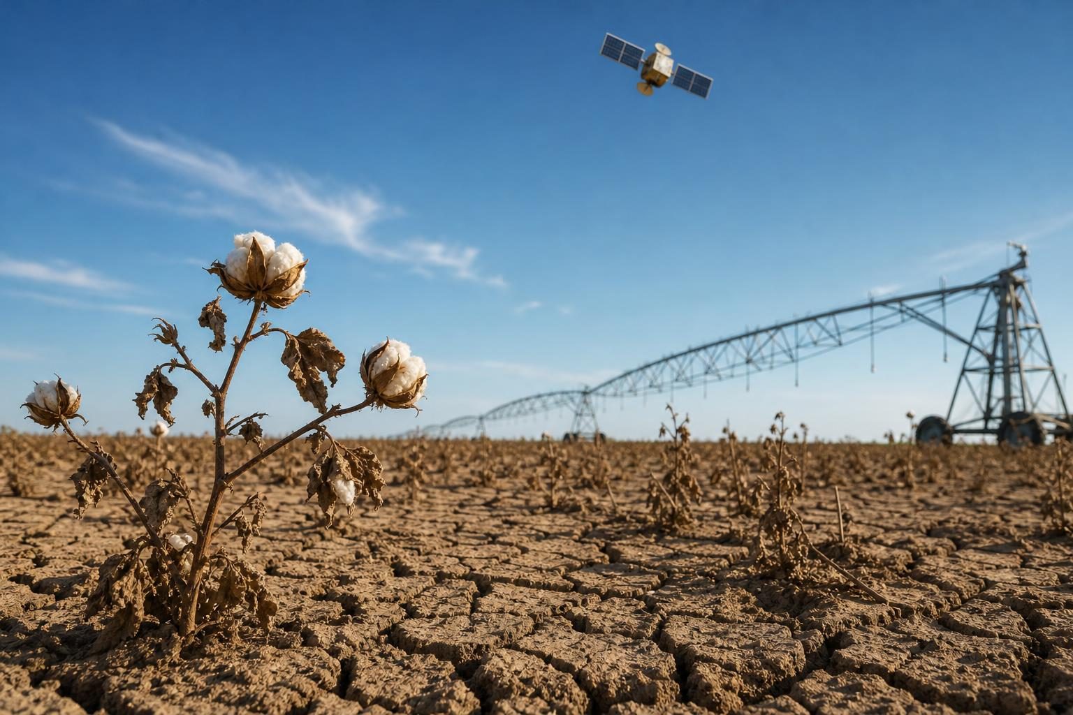
Satellite images from NASA show a harsh drought spreading across cotton country in the Texas High Plains, according to NASA’s Earth Observatory. In an image taken on September 9, 2026, fields around Lubbock looked brown and bare. An image of the same area from September 22, 2025, showed much greener land during a healthier growing season. This matters beyond Texas because the region is America’s largest cotton-producing area. Cotton is the fiber used in many T-shirts, jeans, towels, and other items people use every day.
The drought hit especially hard on dryland cotton, which is cotton grown mostly with rainfall instead of water pumped onto fields. Some farmers remembered terrible years in 2011 and 2022, when huge parts of the dryland crop had to be abandoned. In 2026, NASA reported that one Lubbock County farmer said about 90 percent of her dryland cotton was dead. That is not just a farm problem. It is also an Earth science problem about how weather, soil, plants, and water systems connect.
One of the biggest concerns is the High Plains aquifer. An aquifer is an underground layer of rock or sediment that stores water, like a hidden natural reservoir. Farmers pump water from it to irrigate crops, which means adding water to fields when rain is not enough. But the aquifer has been dropping for decades. NASA cited U.S. Geological Survey data showing that the water table, or the top level of underground water, has fallen by 25 to 100 feet across much of Lubbock County since around 1950. In some counties farther north, the drop has been 150 feet or more.
The satellite images also show strange green shapes: half-circles and quarter-circles in otherwise dry fields. Those shapes come from center-pivot irrigation, a system in which a long sprinkler arm moves in a circle around a central point. Some farmers now water only part of each circle because there is not enough groundwater to cover the whole field. NASA said several wells stopped working for some farmers this summer. When a well can no longer bring up water, crops cannot count on it during a dry spell.
The story also includes playa lakes, which are shallow lakes that appear and disappear depending on rainfall. Many were dry in September 2026. These lakes matter because, when they work properly, rainwater can collect there and seep down to recharge the aquifer, meaning refill it. NASA reported that the Texas High Plains has more than 19,300 playa lakes, but about 80 percent have been changed by plowing or filled with sediment, which is dirt and other material carried by wind or water. That can stop them from helping water move underground.
Recent rain in September and October helped, and NASA said it was aided by El Niño, a repeating climate pattern in the Pacific Ocean that can change weather in faraway places. But the U.S. Drought Monitor still showed that more rain was needed. The problem is not only this year’s weather. It is also about long-term choices: what crops to grow, how much water to pump, how to protect playa lakes, and how satellite data can help people see changes too large to notice from one field. Researchers are even using deep learning, a kind of computer pattern-finding often called artificial intelligence, to track playa lakes over decades. The question is not whether water matters. It is how communities decide to share and protect it when there is less than before.
Written from reporting by NASA, “Fighting Drought in Texas Cotton Country”.
Discussion questions
- If a farming region depends on a shrinking aquifer, who should have the strongest voice in deciding how that water is used: farmers, local governments, scientists, or the wider public? Defend your choice.
- Should farmers in dry areas be encouraged to keep growing the same crops with better technology, or to change what they grow and how they use the land? Explain the trade-offs.
- Satellite images can show drought and water changes from above, but what important information might they miss on the ground?