
Free activities › Middle school
Why Hurricane Polo Grew So Fast
A Pacific storm exploded into a Category 5 hurricane, showing how warm ocean water can power extreme weather.
Print it — all four files
The student packet has no answers in it. The teacher copy is the same pages plus a note on each question and the answer keys. Both languages carry the same story, the same picture and the same vocabulary.
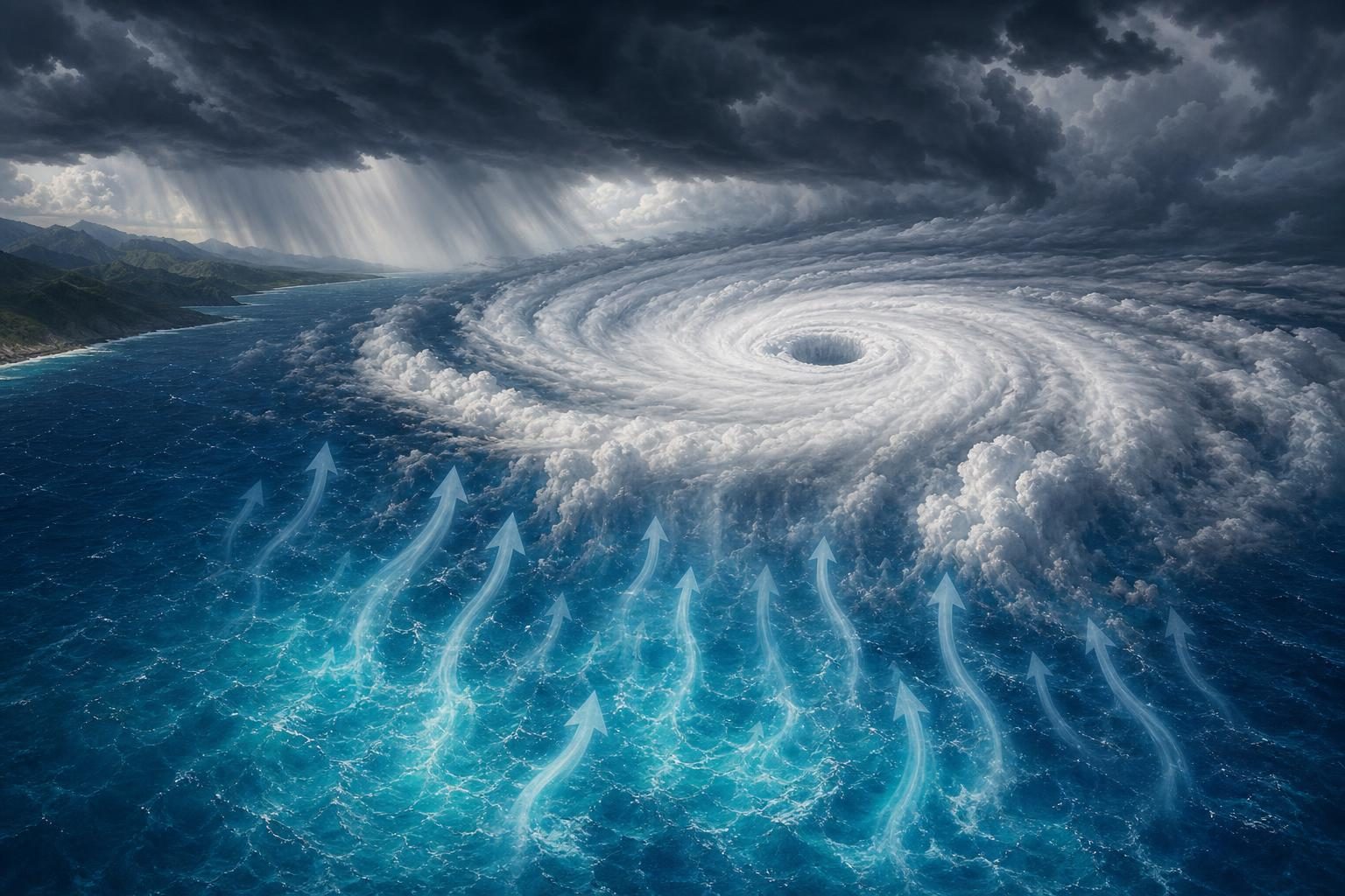
Hurricane Polo grew from a tropical storm into a Category 5 hurricane in less than 24 hours on Tuesday, according to reporting by Live Science. Category 5 is the strongest level on the hurricane wind scale. Polo’s winds reached 180 miles per hour before the storm weakened to Category 4 on Wednesday. It was moving off the southwest coast of Mexico and was not expected to make a direct landfall, but forecasters warned it could still bring dangerous rain, flooding, mudslides, and rough ocean conditions.
That fast jump in strength is called rapid intensification, which means a tropical cyclone gets much stronger in a short time. A tropical cyclone is a rotating storm that forms over warm ocean water; hurricanes are one type. Rapid intensification can make storms harder to prepare for, because the danger can change faster than people expect.
Live Science reported that Polo had several ingredients that helped it strengthen. The first was very warm Pacific Ocean water. Hurricanes work like heat engines. Warm water adds heat and moisture to the air. That warm, wet air rises and feeds thunderstorms inside the hurricane. If the storm stays organized, the energy can turn into stronger winds.
Another ingredient was low wind shear. Wind shear means winds are blowing at different speeds or directions at different heights in the atmosphere. Strong wind shear can tear a hurricane apart or tilt it so it cannot organize well. Low wind shear gives the storm a better chance to stack up vertically, like a spinning tower of clouds.
Polo also had very moist air and helpful upper-air conditions. Upper-air conditions are the winds and pressure patterns high above the ground. In a strong hurricane, air must rise near the center and then spread out near the top. If air can escape quickly from the top of the storm, more air can rise from below, and the storm can keep strengthening.
A scientist quoted by Live Science also pointed to El Niño. El Niño is a natural climate pattern that happens when part of the tropical Pacific Ocean becomes warmer than usual and changes wind and rain patterns around the world. The current event has been described as a “super” El Niño, but Live Science notes that this is not a formal scientific term. It usually means the ocean warming is especially strong.
For a storm like Polo, that matters because warmer ocean water can supply more fuel. El Niño does not create every storm by itself. But it can help set up conditions that make some storms stronger or wetter. Live Science reported that the current El Niño could continue into at least February 2027, which may affect weather in different places in different ways. Some areas could face drought, while others could see heavier rain or stronger storms.
Polo is a science story, but it is also a safety story. People do not have to live in the exact path of a hurricane to be affected by it. Heavy rain can cause flooding far from where the storm’s center travels. Large waves and rip currents, which are strong flows of water that can pull swimmers away from shore, can make beaches dangerous even when the sky looks calm.
The story also shows why weather forecasting matters. A forecast is not just a guess about tomorrow’s temperature. It combines satellite images, ocean measurements, computer models, and human judgment. In class, when you study heat transfer, water vapor, air pressure, and Earth’s systems, those ideas help explain why a storm can suddenly become much more powerful.
Written from reporting by Live Science, “How did Hurricane Polo get so powerful?”.
Discussion questions
- When a storm strengthens very quickly, what information should forecasters share first: the worst possible danger, the most likely path, or the uncertainty in the forecast? Defend your choice.
- Polo did not have to make landfall to be dangerous. How should communities decide when to prepare for a storm that may stay offshore?
- El Niño is natural, but it can still make weather more extreme. How should that change the way people think about “normal” weather patterns?