
Arctic Sea Ice Hits Its Yearly Low
Satellites show the Arctic’s floating ice stayed far below old averages again this summer.
Print it — all four files
The student packet has no answers in it. The teacher copy is the same pages plus a note on each question and the answer keys. Both languages carry the same story, the same picture and the same vocabulary.
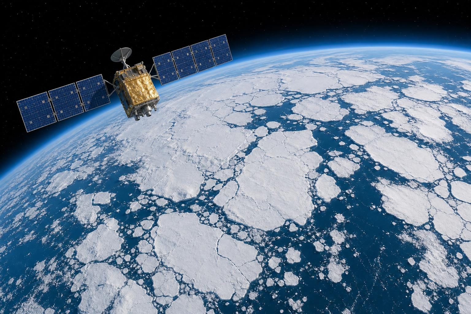
Arctic sea ice reached its smallest size of the year on September 12, according to NASA’s Earth Observatory and the National Snow and Ice Data Center. Sea ice is frozen ocean water. It floats around the Arctic, the area around the North Pole.
At that low point, the ice covered about 1.78 million square miles. Scientists call this the yearly minimum, meaning the smallest amount for that year. The 2026 minimum tied 2008, 2010, and 2025 for the 10th-lowest minimum in the satellite record. That record began in late 1978.
This matters because the ice is part of a long pattern. Arctic sea ice grows during the dark, cold winter. It usually reaches its biggest size in March. Then it melts through the summer. That yearly change is normal. But satellites show that both the winter ice and the summer ice now cover less ocean than they did a few decades ago.
The past 20 summers, from 2007 through 2026, all rank among the 20 lowest summer minimums in the satellite record. Weather can still change one year a lot. NASA scientists say extra clouds in the past decade have slowed some melting by blocking sunlight. Even so, the summer ice has stayed well below the long-term average.
The kind of ice is changing too. Some sea ice used to survive more than one summer. Scientists call that multiyear ice. Now there is less of it. More of the Arctic is covered by first-year ice, which formed during the most recent winter. First-year ice is usually thinner. In March 2026, the winter maximum tied March 2025 for the lowest in the satellite record.
Scientists track the ice from space. The satellites use passive microwave sensors. Microwaves are a kind of energy Earth gives off naturally. Sea ice gives off more of this energy than open water, so the satellites can tell them apart. Microwaves can pass through clouds. That helps scientists watch the ice often, even when the sky is cloudy.
The Arctic is far away from most classrooms. But the idea is familiar. A freezer makes ice grow. Warmth makes ice shrink. In the Arctic, satellites help people see that change across a whole ocean.
Written from reporting by NASA, “Arctic Sea Ice Shrinks to Its 2026 Minimum”.
Discussion questions
- Should people pay more attention to one record-low year or to a long pattern over many years? Defend your answer.
- What makes satellites a good tool for studying Arctic sea ice, and what might they still not show well?
- If you had to explain this story with something from daily life, what comparison would you use, and where could that comparison be misleading?