
Fresh Snow Turns the Sierra Nevada White
A NASA satellite showed how one November storm changed California’s mountains in just two days.
Print it — all four files
The student packet has no answers in it. The teacher copy is the same pages plus a note on each question and the answer keys. Both languages carry the same story, the same picture and the same vocabulary.
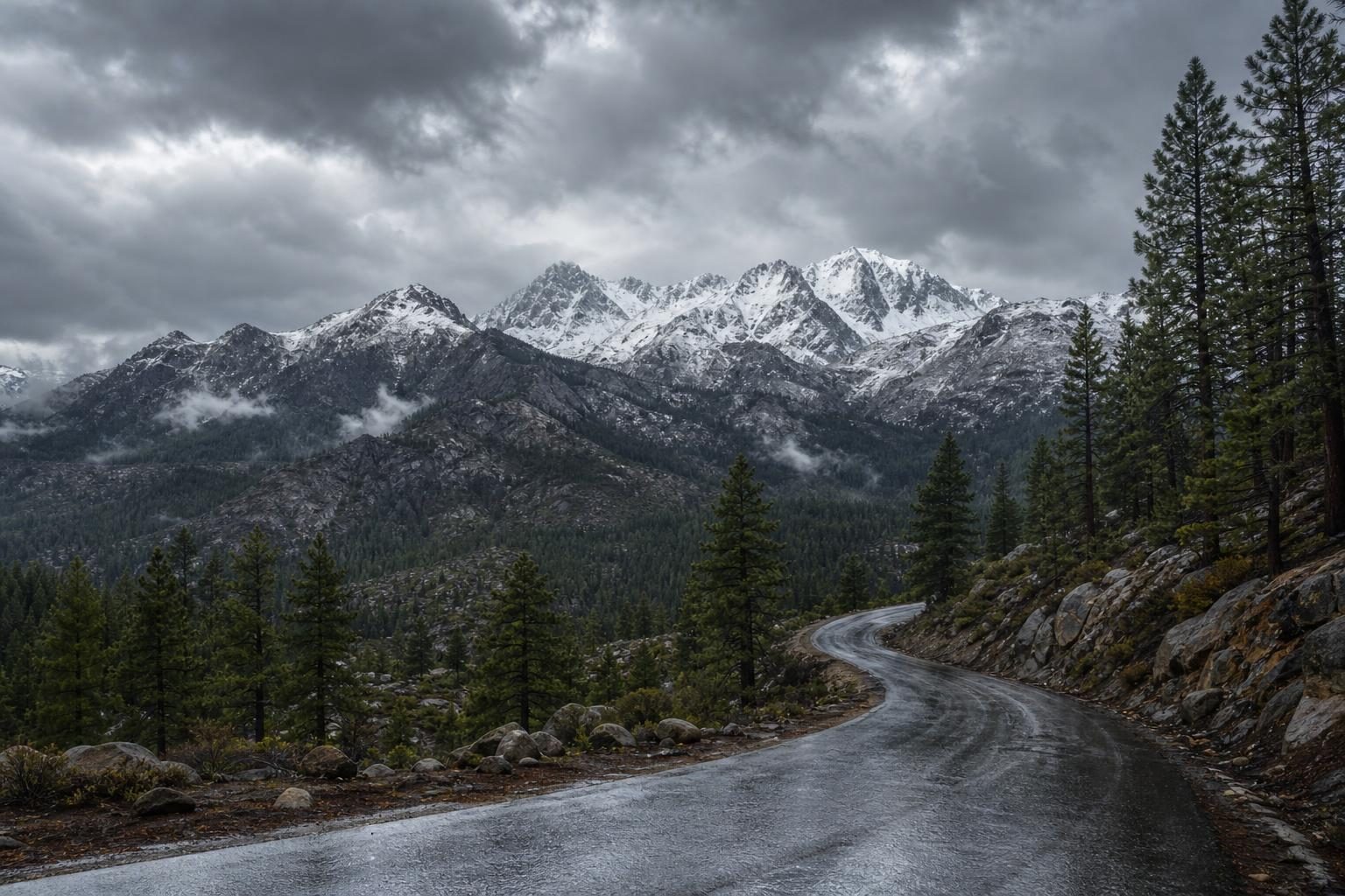
According to NASA’s Earth Observatory, an early snowstorm covered California’s Sierra Nevada mountains in mid-November. One of the first big snowfalls of the season arrived on November 13, 2026. Lower places near Sacramento got heavy rain. Higher mountain areas got snow. Donner Pass, northwest of Lake Tahoe, got nearly 12 inches.
That much snow can change a day quickly. A mountain road that was bare on Wednesday can be white by Friday. Drivers may need chains, slow speeds, or a new plan. On November 13, officials closed Interstate 80 in both directions near Donner Pass that evening. Farther south, Yosemite National Park closed several roads before the storm.
NASA saw the change from space. Its Terra satellite flew over the area on November 14, during a break between storms. A satellite is a machine that moves around Earth and takes measurements from above. Terra carries an instrument called MODIS. It made an image showing fresh snow on the Sierra Nevada. Two days earlier, the same mountains were mostly bare. Snow showed only on the highest places.
The storm was part of a fast line of Pacific storms. They were bringing rain, snow, and wind to the U.S. West. The story is also about height. In mountains, weather can be very different from place to place. Rain may fall in a city while snow falls high above it. Elevation means how high a place is above sea level.
The National Weather Service warned about more stormy weather from November 18 to 20. The warning was for parts of the Sierra Nevada above 5,000 feet. Above 8,000 feet, forecasters said around 4 feet of snow was possible.
For people nearby, the storm was not just a pretty picture. It affected travel, park roads, and ski areas. Mammoth Mountain reported 9 to 13 inches of new snow. That is enough to cover boots and make familiar trails look new.
A satellite image helps people see the whole scene at once. From the ground, a storm is a wet coat, a slippery road, or flakes on a window. From space, it becomes a wide white stripe across mountains. Both views matter. One shows what it feels like to be there. The other helps weather watchers understand what changed.
Written from reporting by NASA, “Sierra Snow Season Spins Up”.
Discussion questions
- When a big mountain storm is coming, should officials close roads early or wait longer? Defend your choice.
- Which view teaches more about this storm: seeing it from the ground or seeing it from a satellite? Explain your reasoning.
- How might the same storm feel different to someone in a city, a driver in the mountains, and a park worker?