
NASA Maps Secret Valleys Under Greenland’s Ice
A new map shows old valleys and mountains buried below one of Earth’s biggest ice sheets.
Print it — all four files
The student packet has no answers in it. The teacher copy is the same pages plus a note on each question and the answer keys. Both languages carry the same story, the same picture and the same vocabulary.
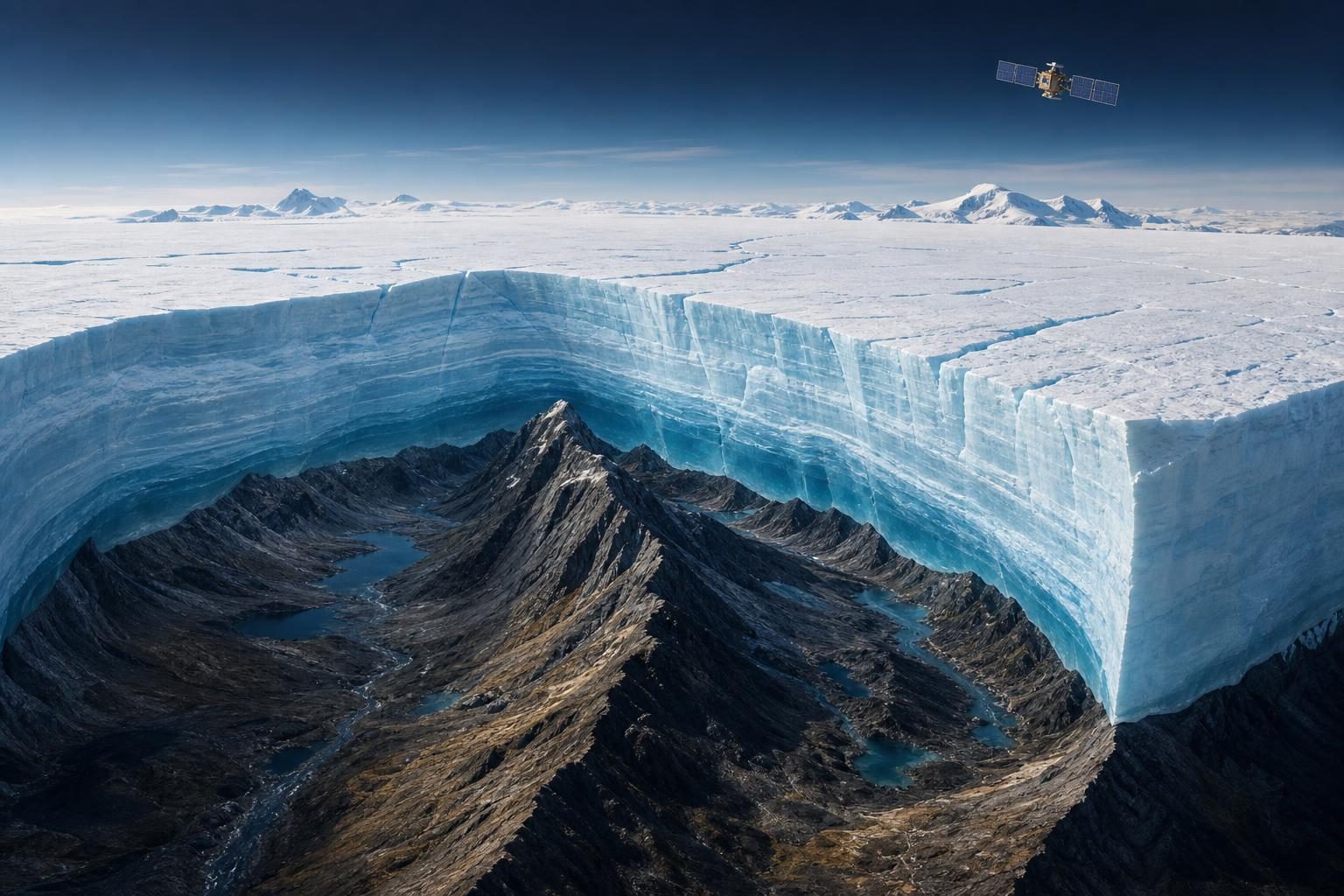
Scientists have made a new map of land hidden under ice. It shows the rocky ground under Greenland’s giant ice sheet, according to NASA’s Earth Observatory. An ice sheet is a thick blanket of ice that covers a large area. In places, Greenland’s ice is more than 3 kilometers, or 1.9 miles, thick.
The new map connects hundreds of hidden valleys that older maps missed or showed in broken pieces. A valley is low land between higher land. These valleys are subglacial, which means they sit under a glacier or ice sheet. Many were carved before most of today’s ice existed.
No one drilled down and looked at every valley. Instead, scientists used satellites, machines that travel in space and look down at Earth. Ice does not sit perfectly flat. When it flows over buried land, tiny dips and bumps can show on top. Scientists studied those clues to infer, or figure out, the shapes below.
The researchers mapped 1,943 valleys under the Greenland Ice Sheet. About one-third were newly found. Some valleys near the edge of the ice also seem to stretch farther inland than earlier maps showed. In some cases, NASA says, they may reach hundreds of kilometers farther.
This matters because ice moves. It can slide and flow slowly, almost like very thick honey. Valleys can guide moving ice, just as a gutter guides rainwater. When ice gathers in a valley, it can become thicker. Thicker ice can move faster. Over time, that movement can carve a valley deeper.
The map also gives clues about Greenland’s old story. Some valleys appear to begin in the southern and eastern highlands, which are areas of higher ground. NASA says that is where scientists think the ice sheet first formed. In eastern Greenland, the map shows a hidden mountain range with valleys linked together under the ice.
Other parts are still puzzling. In west-central Greenland, many valleys are long and straight. They point in a similar southwest-to-northeast direction. That may mean tectonics helped shape them. Tectonics is the slow movement and bending of Earth’s outer rock. Water moving underground may also have helped wear away the rock before the ice sheet formed.
A map like this is not just a picture of a secret place. It helps scientists test ideas about land, ice, and time. It may also help them make better projections, or careful forecasts, of how Greenland’s ice could move in the future.
Written from reporting by NASA, “Uncovering the Valleys Hidden Below Greenland’s Ice”.
Discussion questions
- When scientists make a better map, should the older map be called wrong or unfinished? Explain your view.
- Scientists used tiny clues on top of the ice to learn about land below it. When is it fair to trust clues instead of seeing something directly?
- If a hidden map can help forecast future changes, what other information would scientists need before making big decisions?