
Satellite Spots a Lava Lake on a Faraway Icy Island
A rare clear view helped scientists watch Mount Michael, a volcano near Antarctica, from space.
Print it — all four files
The student packet has no answers in it. The teacher copy is the same pages plus a note on each question and the answer keys. Both languages carry the same story, the same picture and the same vocabulary.
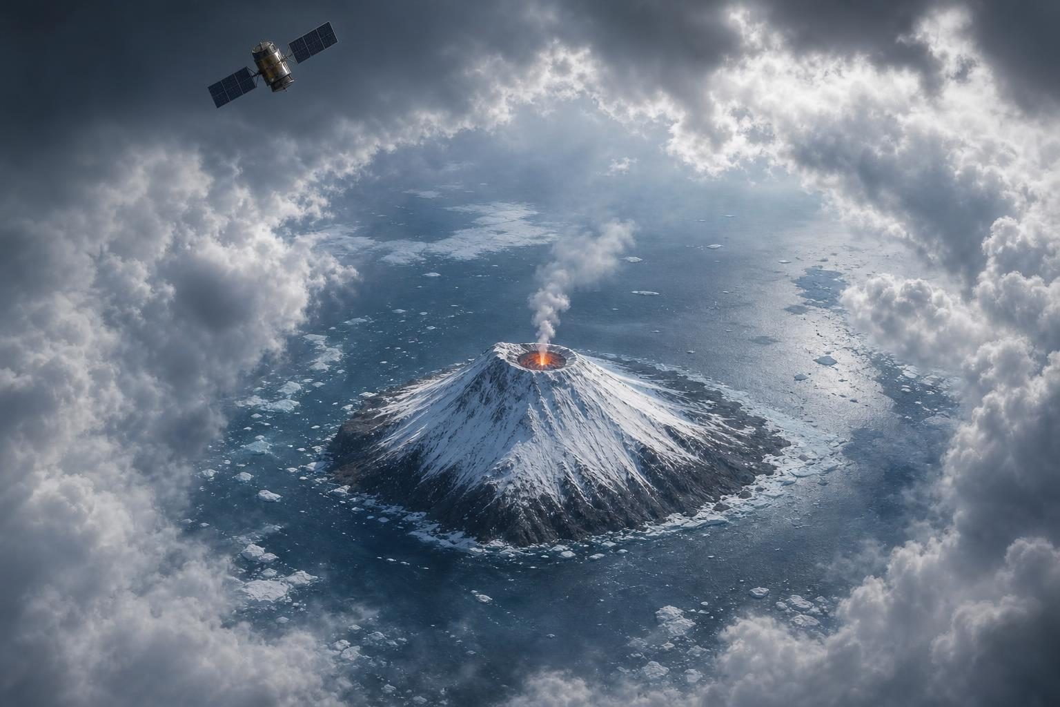
According to NASA Earth Observatory, NASA got a rare clear satellite look at Mount Michael. It is a volcano on Saunders Island in the South Atlantic Ocean. The image was taken on Aug. 24, 2026. Clouds had moved away near the end of austral winter. Austral means southern. So austral winter is winter in the Southern Hemisphere.
The picture matters because Mount Michael is hard to visit. It sits near the Antarctic Circle, where the ocean can fill with sea ice. Scientists often study it from space. A satellite is a machine that travels around Earth and takes measurements.
In the image, the cold island looks snowy and bright. But one spot at the top glows red in NASA’s view. That red color is not paint. It shows infrared light, which is heat that human eyes cannot see. The heat comes from a lava lake in the summit crater. A lava lake is a pool of melted rock. A crater is the bowl-shaped opening at the top of a volcano.
The volcano also gave other clues. A small plume, or puff, floated above the peak. Some snow on the north side looked dark. NASA says both signs point to activity at the volcano.
Mount Michael is not just a one-day surprise. Scientists looked at satellite records from many years. They found signs that its lava lake keeps coming back or staying active. Only a small number of volcanoes on Earth are known for this kind of often-active lava lake.
If you could stand far away on Saunders Island, the place might feel almost like another planet. There would be ice, ocean, snow, and a tall cone of rock. At the top, hidden by distance and weather, would be a warm, glowing lake. Most days, clouds would block the view from space. On this day, the sky opened for the satellite.
The island is part of the South Sandwich Islands. They are a chain of small volcanic peaks. They formed because huge pieces of Earth’s outer shell, called plates, move against each other. In this area, one plate dives under another.
A week later, clouds were back. But the island still shaped the sky. Winds passed the peak and made rows of wave clouds, like the wake behind a ship. That is another reason satellites matter. They let scientists watch faraway places change, even when no classroom, town, or road is nearby.
Written from reporting by NASA, “A Bright Spot at Mount Michael”.
Discussion questions
- When a place is hard to visit, should scientists rely mostly on satellites? Why or why not?
- Which would teach you more about Mount Michael: one very clear picture or many years of less-perfect records? Defend your choice.
- If you had to explain this volcano to a younger child, which detail would you choose first, and why?