
Free activities › Middle school
Drought Turns New Guinea Fires Into a Weeks-Long Crisis
Satellite data show unusually high fire pollution on the island, where smoke has closed schools and drought has hurt crops.
Print it — all four files
The student packet has no answers in it. The teacher copy is the same pages plus a note on each question and the answer keys. Both languages carry the same story, the same picture and the same vocabulary.
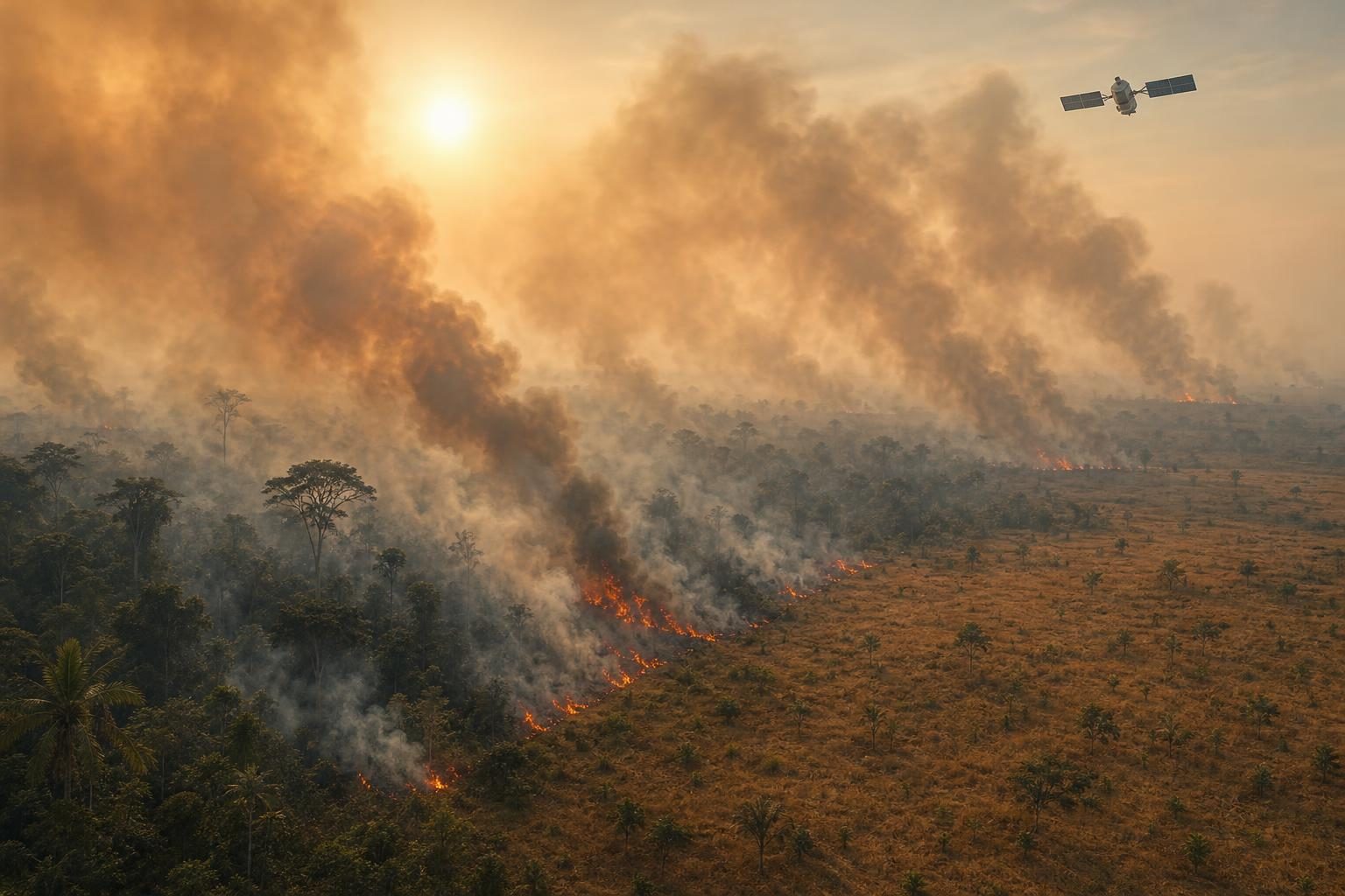
Fires have burned across New Guinea for weeks, sending thick smoke over large parts of the island and pushing air pollution to unusually high levels. According to NASA Earth Observatory, a satellite image from October 11 showed smoke streaming from the southern part of the island. In some areas, officials delayed or canceled flights, closed schools, and urged children and older people to wear masks.
New Guinea is the world’s second-largest island. Its eastern half is Papua New Guinea, an independent country. Its western half is part of Indonesia and is often called Indonesian Papua or West New Guinea. The island has many ecosystems, meaning communities of living things and their environment, including tropical rainforests, swamp forests, grasslands, and savannas. That variety makes the fires important for people, animals, plants, and the climate.
The fires have been made worse by drought during a strong El Niño. El Niño is a natural climate pattern that can shift rain and heat around the Pacific Ocean and beyond. In southern Papua New Guinea, the national weather service reported that the Trans-Fly region went more than 90 days without rain. Since August, some places there received only about 5 to 10 percent of their normal rainfall. Local news reports say the drought has caused crop failures, water shortages, and school disruptions.
Most fires in this normally wet part of the world are started by people, researchers told NASA. People may burn fields after harvest, clear land, manage pasture, or use fire while hunting. Those fires can be planned and controlled in normal weather. But when plants and soil are extremely dry, a managed fire can spread and become a wildfire, which is an uncontrolled fire burning through natural areas or farmland.
Scientists are also tracking the fires because they release carbon into the air. Carbon is an element found in living things, soil, and fuels; when plants burn, some of that carbon becomes gases and particles in the atmosphere. The Global Fire Emissions Database, a system that uses satellite data and computer models to estimate fire pollution, found that fires in Papua New Guinea had released nearly 32 megatons of carbon by October 19. A megaton is one million metric tons. On the Indonesian side of the island, carbon emissions had passed 35 megatons. NASA reported that the Papua New Guinea total was higher than any previous year on record by that point in the year.
The story also shows how land use changes fire risk. Researchers said parts of Indonesian Papua have become a new frontier for deforestation, which means clearing forests for other uses. Land has been cleared for oil palm and pulpwood plantations, small farms, cities, and mining. Global Forest Watch reported that Indonesian Papua lost 27,000 hectares of primary forest in 2025. Primary forest means old forest that has not been heavily changed by people. That was nearly double the 2024 total and the most since 2017.
NASA researchers expect the fires to keep burning until the wet season brings heavy rain to southern New Guinea, usually in early November. For a middle school science class, this is not just a faraway disaster. It is a real example of the carbon cycle, weather patterns, air quality, satellite science, and choices people make about land. It shows how a climate pattern in the ocean can help turn local fires into a regional emergency.
Written from reporting by NASA, “Fires Char New Guinea”.
Discussion questions
- When people use fire for farming or land clearing, what responsibilities should they have during a drought, and who should help them meet those responsibilities?
- Satellite data can show smoke, fire activity, and carbon emissions from far away. What can this kind of evidence tell us, and what can it not tell us by itself?
- Should a fire crisis like this be treated mostly as a local problem, a national problem, or a global problem? Defend your choice.