
Free activities › Middle school
Hurricane Simon Shows Its Power From Sea to Sky
The storm stayed offshore Mexico, but it still brought coastal danger and sent ripples high into the atmosphere.
Print it — all four files
The student packet has no answers in it. The teacher copy is the same pages plus a note on each question and the answer keys. Both languages carry the same story, the same picture and the same vocabulary.
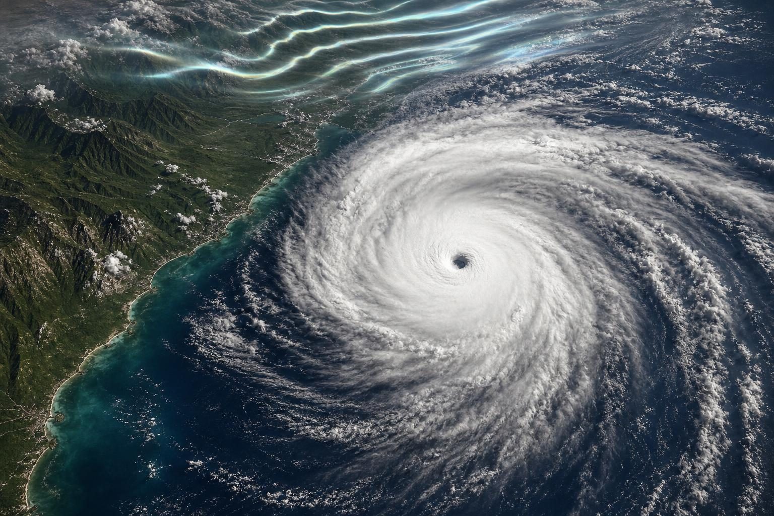
Hurricane Simon stayed just offshore from Mexico’s Pacific coast, but it still pushed dangerous weather onto land. According to NASA’s Earth Observatory, Simon passed close to the coast on Oct. 11 as a Category 4 hurricane, a very strong storm on a 1-to-5 wind scale. Its center, called the eye, was about 30 miles offshore between Manzanillo and Puerto Vallarta when a satellite captured an image that afternoon.
The storm’s sustained winds, meaning winds that last for a measured period instead of one quick gust, reached 155 miles per hour earlier that day. By the time of the image, sustained winds were about 130 miles per hour. NASA reported that the hurricane’s inner core, the ring of strongest winds and rain near the eye, brushed the coast. Coastal areas, including the port city of Manzanillo, had heavy rain and flooding. Mountain areas also faced a risk of mudslides, which happen when soaked soil and rock slide downhill.
Simon matters even though it did not come ashore right away. A hurricane does not need to make landfall, or have its center cross the coast, to be dangerous. Wind, rain, flooding, and large ocean swells can spread far from the eye. NASA said large swells were expected along parts of Mexico’s southwestern and west-central coasts in the coming days. Swells are long waves that can make water near shore unsafe, even when the storm center is not overhead.
The storm also gave scientists a rare look at the air above a hurricane. In the early hours of Oct. 11, a satellite saw atmospheric gravity waves spreading away from Simon. These are not space gravity or ocean waves. They are ripples in layers of air, like rings spreading across a pond after a pebble drops. NASA explained that heat released near the hurricane’s eyewall, the wall of clouds around the eye, helped build tall thunderstorm clouds. Strong rising air in those clouds can send ripples upward into very high parts of the atmosphere.
The images came from VIIRS, an instrument on weather and Earth-observing satellites that can sense visible and infrared light. Infrared light is energy people cannot see but instruments can detect as heat. One VIIRS image showed Simon in daylight. Another nighttime image showed faint airglow, which is light naturally given off by gases high in the atmosphere. The Moon was not bright that night, so its reflected light did not hide the airglow as much as it sometimes does.
This connects to topics often studied in Earth science and geography. A hurricane’s track is its path, and its intensity is how strong it is. NASA said the Sierra Madre mountains seemed to weaken Simon somewhat and shrink its area of strong winds. That detail shows why maps are not just about where places are. Landforms can change weather, and weather can change land through floods and mudslides.
Simon also shows why forecasting is both powerful and uncertain. On the morning of Oct. 13, forecasters said confidence in Simon’s future strength and path was very low. Confidence means how sure scientists are about a prediction. Meteorologists, the scientists who study and forecast weather, use satellites, measurements, and computer models. But storms can still surprise them. Better observations from space can help communities warn people about flooding, mudslides, and dangerous nearshore conditions.
Written from reporting by NASA, “Hurricane Simon Lurks Off the Mexican Coast”.
Discussion questions
- When a storm forecast has very low confidence, should officials still issue strong warnings? Defend your answer.
- What can satellites reveal about a hurricane that people on the ground might miss, and what might satellites still fail to show?
- Simon stayed offshore. Should storms that do not make landfall still be treated as major news? Use evidence from the article.