
Free activities › Middle school
Indonesia’s Underground Fires Are Darkening the Sky
NASA satellites are tracking peatland fires that are sending dangerous smoke across Indonesia during a severe drought.
Print it — all four files
The student packet has no answers in it. The teacher copy is the same pages plus a note on each question and the answer keys. Both languages carry the same story, the same picture and the same vocabulary.
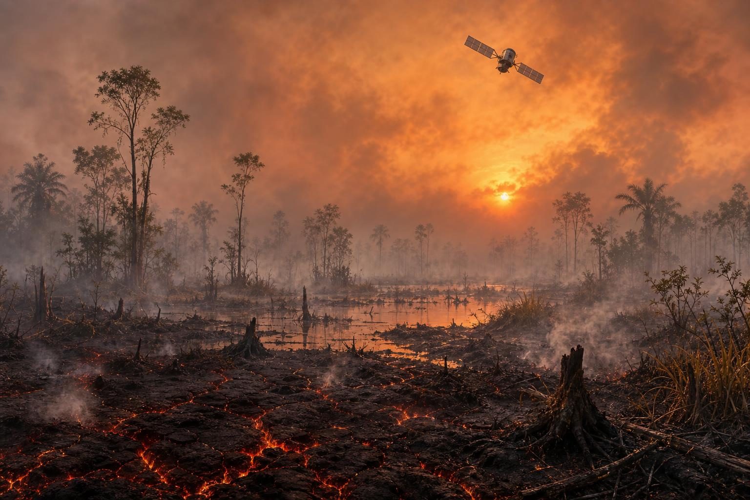
Fires are burning across parts of Indonesia, and some are not just burning trees or grass. They are smoldering in peatlands, which are wetlands with thick layers of partly decayed plants built up in the soil. According to NASA, its Aqua satellite captured an image on September 1 showing the fire season underway as drought grips the country.
These fires matter because peat can burn on the surface and underground. A drought is a long dry period, and it can turn normally wet peat into fuel. Underground fires are hard to put out because firefighters may not be able to see exactly where they are burning. They can keep moving through the soil until heavy rains return.
Peatland fires also make dirty smoke. NASA says one estimate found that peat fires produce much more fine particulate matter than other tropical forest fires. Fine particulate matter means tiny pollution particles small enough to get deep into the lungs. The fires also release gases such as methane and carbon monoxide. Methane is a greenhouse gas, meaning it traps heat in the atmosphere. Carbon monoxide is a dangerous gas that people should not breathe in large amounts.
Indonesia has a special risk because it has about 36 percent of the world’s tropical peatlands. Tropical peatlands are peat wetlands in warm, rainy regions. Fires happen in Indonesia every year, but they can become much worse during El Niño. El Niño is a repeating climate pattern in the Pacific Ocean that can change weather around the world. In Indonesia, it often means less rain. NASA says NOAA, a U.S. science agency that studies oceans and the atmosphere, assessed El Niño as present and strengthening in August.
Another climate pattern, the Indian Ocean Dipole, was also present. That pattern happens when parts of the Indian Ocean become warmer or cooler than usual, shifting rainfall in nearby regions. Together, these patterns can dry out places that are usually wet. NASA reported that about 90 percent of Indonesia received little to no rainfall in early August, based on data from Indonesia’s meteorological agency, which studies weather.
Scientists are watching the fires from space. NASA’s Aqua satellite carries MODIS, a sensor that detects heat and other signals from Earth’s surface. Indonesia also uses NASA and NOAA observations from MODIS and VIIRS, another satellite sensor, to track active fires in near-real time. On August 31, Indonesia’s Ministry of Forestry fire-monitoring platform counted 946 hotspots, which are places where satellites detected unusual heat.
But satellites do not see everything. Thick smoke, clouds, forest cover, and underground burning can hide fires from sensors. That means the worst smoke events can sometimes be the hardest to measure from space. Scientists are working on new ways to spot more hidden fires using other satellite observations.
The smoke is already affecting daily life. NASA says news reports from Indonesia and nearby countries describe hazardous smoke, some schools shifting to remote learning, nine national parks closing, and several flight delays. That makes this more than a faraway environmental story. It is also about how weather, land use, technology, and public health connect. A fire in wet soil can change the school day, the air people breathe, and the amount of heat-trapping gas in the shared atmosphere.
Written from reporting by NASA, “Peatland Fires Darken Skies in Indonesia”.
Discussion questions
- When a disaster is partly caused by weather and partly by how people changed the land, how should responsibility be shared?
- Should governments focus more money on stopping fires before they start or on better tools to detect and fight them once they begin?
- What are the strengths and limits of using satellites to understand problems on the ground?