
Free activities › Middle school
NASA Night Images Track Outages After Hurricane Isaias
Satellite views show where lights went dark on Florida’s Gulf Coast and how quickly they came back.
Print it — all four files
The student packet has no answers in it. The teacher copy is the same pages plus a note on each question and the answer keys. Both languages carry the same story, the same picture and the same vocabulary.
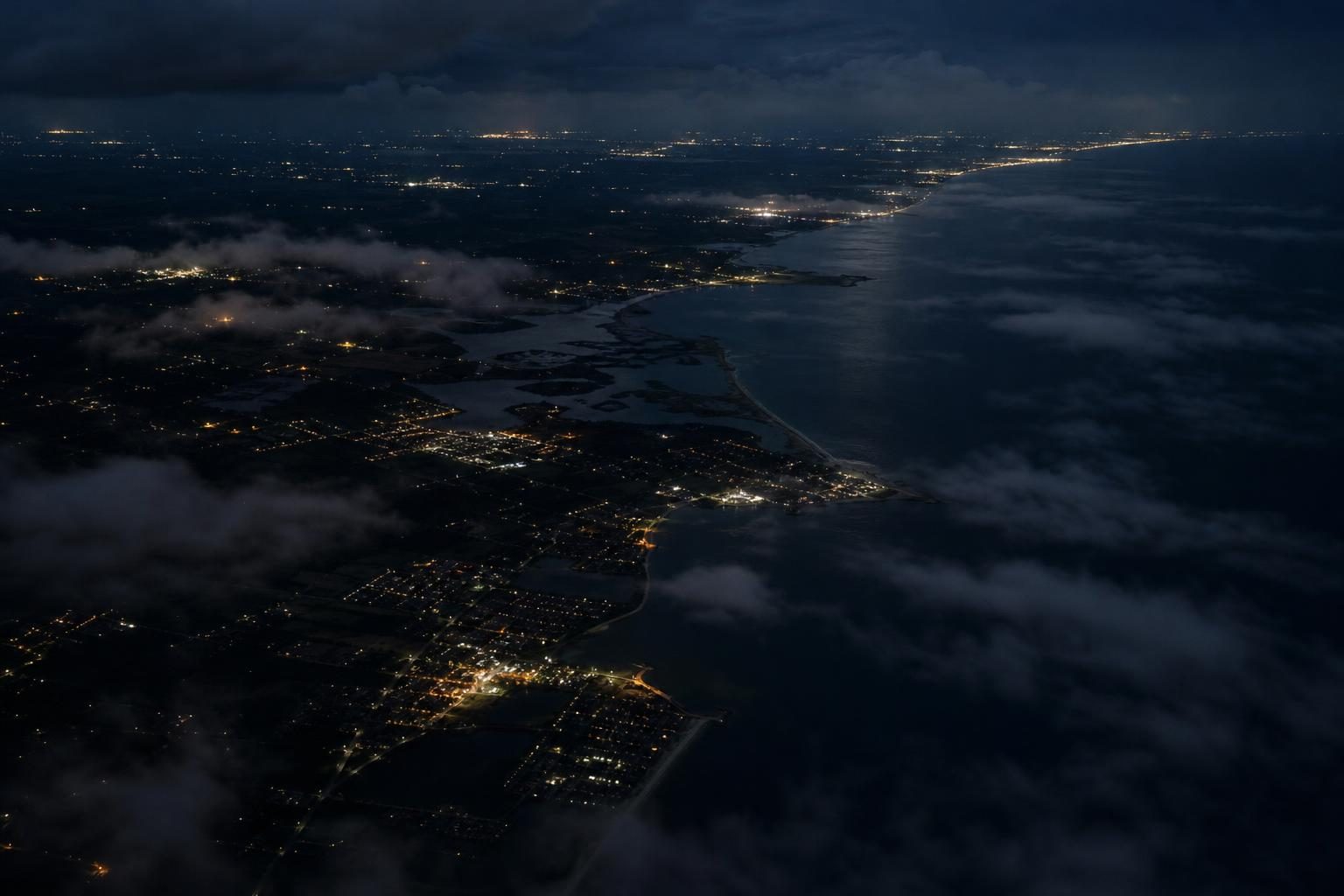
NASA’s Earth Observatory released new nighttime satellite images showing how Hurricane Isaias knocked out power along parts of the Florida Panhandle and how lights returned over the next few days. According to NASA, Isaias made landfall near Destin, Florida, on the evening of October 9 as a Category 2 hurricane, which means a storm with winds strong enough to cause major damage to buildings, trees, and power lines. Its maximum sustained winds, or the strongest winds that keep blowing for at least a short period, reached 105 miles per hour. The storm also brought heavy rain and flash flooding to parts of the Southeast, including Alabama and the Florida Panhandle.
The images show the coast before and after the storm. NASA compared a picture made from August 2026 nighttime data, showing typical light patterns, with a picture from October 11, after most of the storm’s clouds had moved away. Lights dropped sharply around parts of Pensacola, Florida, and along the U.S. Route 98 corridor toward Destin. NASA reported that these darker areas lined up with places west of the storm’s eye, the calm center that hurricanes rotate around, where high winds were especially strong.
The pictures came from a NASA project called Black Marble HD. A satellite data product is a set of measurements processed into useful images or maps, and Black Marble HD is designed to show lights on Earth at night. It uses data from an instrument called VIIRS, short for Visible Infrared Imaging Radiometer Suite, on the NOAA-20 satellite. That instrument can detect light that is given off or reflected at night. Scientists also adjust the data for things that could confuse the image, such as moonlight, clouds, and the atmosphere, which is the layer of gases around Earth.
This kind of science is called remote sensing, which means learning about a place from far away using tools such as satellites. Remote sensing can be powerful because one satellite can view a large area at once. But it also has limits. NASA noted that clouds blocked data in some areas. The images can show where lights changed, but they cannot prove exactly why one building or neighborhood stayed bright while another went dark.
That limit matters. NASA pointed out that some places still had visible lights after the storm, including Pensacola International Airport, Pensacola Christian College, and parts of downtown Pensacola. Those bright spots might have had backup power, stronger electrical infrastructure, or electricity that never failed. Electrical infrastructure means the wires, poles, power stations, and other equipment that move electricity from where it is made to where people use it. The image alone cannot confirm which reason is correct.
By October 12, NASA’s images showed that some lights had started to return. By October 14, the overall light patterns looked similar to the conditions before the storm. That information can help emergency responders, the people who organize help after a disaster, decide where to look more closely. NASA said Black Marble data can support ground-based outage reports rather than replace them. In other words, satellite views are one tool, not the whole answer.
For someone in middle school, this story connects weather, Earth science, engineering, and daily life. A power outage can affect homes, schools, traffic lights, stores, and the ability to charge phones. The story also shows that space technology is not only about distant planets. Satellites above Earth can help people understand what is happening on the ground after a storm. The hardest part is not just getting a dramatic picture. It is turning that picture into careful decisions about where help is needed most.
Written from reporting by NASA, “Isaias Dims the Gulf Coast”.
Discussion questions
- Should emergency officials rely more on satellite images or on reports from people on the ground after a storm? Defend your answer.
- If two neighborhoods look equally dark from space, what other information would you want before deciding which one gets help first?
- What is one risk of using a powerful image as evidence, and how can scientists reduce that risk?